
File:Canberra Map-MJC.png
Size of this preview: 477 × 479 pixels.
| |
This is a file from the Wikimedia Commons. Information from its description page there is shown below.
Commons is a freely licensed media file repository. You can help. |
Summary
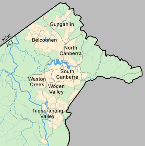
Location of Canberra within the Australian Capital Territory
Map drawn by Martyman
File history
- (del) (cur) 10:19, 31 October 2005 . . Martyman (Talk | contribs) . . 800x804 (69,138 bytes) (new version)
- (del) (rev) 10:10, 31 October 2005 . . Martyman (Talk | contribs) . . 800x707 (64,931 bytes) (Map of Canberra Drawn by me in Illustrator and released under the GFDL)
Licensing
 |
Permission is granted to copy, distribute and/or modify this document under the terms of the GNU Free Documentation License, Version 1.2 or any later version published by the Free Software Foundation; with no Invariant Sections, no Front-Cover Texts, and no Back-Cover Texts. A copy of the license is included in the section entitled GNU Free Documentation License.
|
| This file is licensed under the Creative Commons Attribution-Share Alike 3.0 Unported license. | ||
|
||
| This licensing tag was added to this file as part of the GFDL licensing update.
|
File usage
The following pages on Schools Wikipedia link to this image (list may be incomplete):
Want to know more?
SOS Childrens Villages has brought Wikipedia to the classroom. SOS Childrens Villages believes that a decent childhood is essential to a happy, healthy. Our community work brings families new opportunities through education, healthcare and all manner of support. Have you heard about child sponsorship? Visit our web site to find out.