  | 
          
            This is a file from the  Wikimedia Commons. Information from its  description page there is shown below.  Commons is a freely licensed media file repository.  You can help. 
           | 


        Summary 


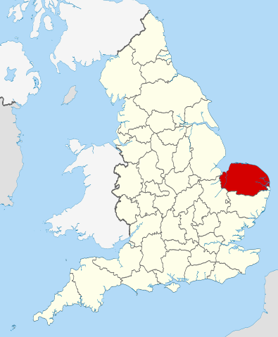
           | Description | 
           Location of the ceremonial county of  Norfolk within England. | 
          
          
           | Date | 
           23 November 2010 | 
          
          
           | Source | 
            Ordnance Survey  OpenData: 
             - County boundaries and GB coastline
 
             
             National Geospatial-Intelligence Agency 
            
             - Irish, French and Isle of Man coastlines, Lough Neagh and Irish border
 
             
            | 
          
          
           | Author | 
            Nilfanion | 


        Licensing 


           I, the copyright holder of this work, hereby publish it under the following licenses:


               | 
             Permission is granted to copy, distribute and/or modify this document under the terms of the  GNU Free Documentation License, Version 1.2 or any later version published by the  Free Software Foundation; with no Invariant Sections, no Front-Cover Texts, and no Back-Cover Texts. A copy of the license is included in the section entitled  GNU Free Documentation License.  http://www.gnu.org/copyleft/fdl.htmlGFDLGNU Free Documentation Licensetruetrue 
              | 
             
            
           You may select the license of your choice.
           | 


            | 
          This is one of the images forming part of the  Valued image set:  Locator maps of the Ceremonial counties of England on Wikimedia Commons. The image set has been assessed under the  valued image set criteria and is considered the most valued set on Commons within the scope: 
           Locator maps of the  Ceremonial counties of England
           You can see its nomination at  Commons:Valued image candidates/Locator maps of English ceremonial counties. 
           | 


       File usage
       
        The following pages on Schools Wikipedia link to this image (list may be incomplete):


       This file contains additional information, probably added from the digital camera or scanner used to create or digitize it. If the file has been modified from its original state, some details may not fully reflect the modified file.
        
       
      SOS Childrens Villages chose the best bits of Wikipedia to help you learn. By supporting vulnerable children right through to adulthood, SOS Childrens Villages makes a lasting difference to the lives of thousands of people. Education is a key part of our work, and our schools provide high-quality teaching to the children in our care. There are many ways to help with SOS Children's Villages.