  | 
          
            This is a file from the  Wikimedia Commons. Information from its  description page there is shown below.  Commons is a freely licensed media file repository.  You can help. 
           | 


        Summary 


           | Description | 
           
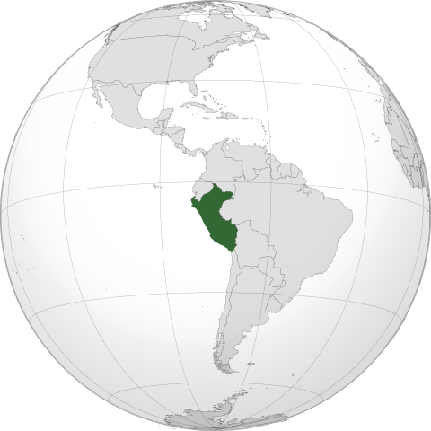
            English:  Orthographic map of  Peru centered at 9° S, 75° O.   Official territory. 
                Claimed territories. 
             
            | 
          
          
           | Date | 
           10 December 2011 | 
          
          
           | Source | 
           Own work with  Natural Earth Data
             
              
               | 
                
                | 
               This  vector image was created with  Inkscape. | 


            | 
          
          
           | Author | 
            Addicted04 | 


        Licensing 
        
         
          | 
           I, the copyright holder of this work, hereby publish it under the following license:
           
           | 


       File usage
       
        The following pages on Schools Wikipedia link to this image (list may be incomplete):


       This file contains additional information, probably added from the digital camera or scanner used to create or digitize it. If the file has been modified from its original state, some details may not fully reflect the modified file.
        
       
      You can learn about nearly 6,000 different topics on Schools Wikipedia. SOS Childrens Villages helps those who have nothing and no one, giving them back the famly they have lost and bringing them the very best opportunities for a happy, healthy future. There are many ways to help with SOS Children.