
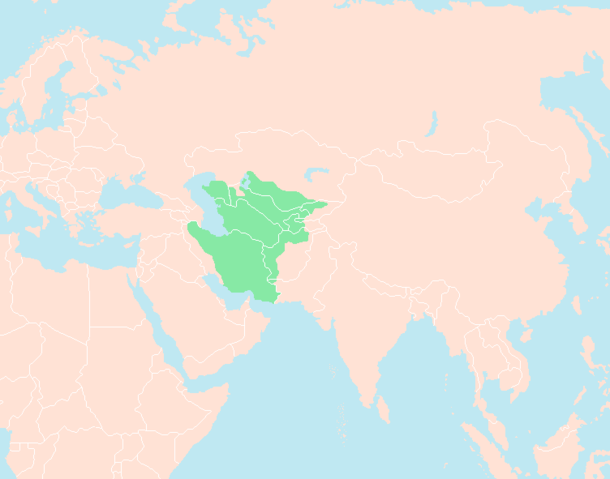
File:Khwarezmid Empire 1190-1220.png
Size of this preview: 610 × 479 pixels.
| |
This is a file from the Wikimedia Commons. Information from its description page there is shown below.
Commons is a freely licensed media file repository. You can help. |
 |
This map image could be recreated using vector graphics as an SVG file. This has several advantages; see Commons:Media for cleanup for more information. If an SVG form of this image is already available, please upload it. After uploading an SVG, replace this template with {{ vector version available|new image name.svg}}. |
Licensing
 |
Permission is granted to copy, distribute and/or modify this document under the terms of the GNU Free Documentation License, Version 1.2 or any later version published by the Free Software Foundation; with no Invariant Sections, no Front-Cover Texts, and no Back-Cover Texts. Subject to disclaimers.
|
| This file is licensed under the Creative Commons Attribution-Share Alike 3.0 Unported license. Subject to disclaimers. | ||
|
||
| This licensing tag was added to this file as part of the GFDL licensing update.
|
File usage
The following pages on Schools Wikipedia link to this image (list may be incomplete):
Metadata
Wikipedia for Schools...
SOS Children's Villages chose the best bits of Wikipedia to help you learn. SOS Childrens Villages is there for the children in our care until they are ready for independence. Would you like to sponsor a child?