
File:Asie.svg
| |
This is a file from the Wikimedia Commons. Information from its description page there is shown below.
Commons is a freely licensed media file repository. You can help. |
| Description |
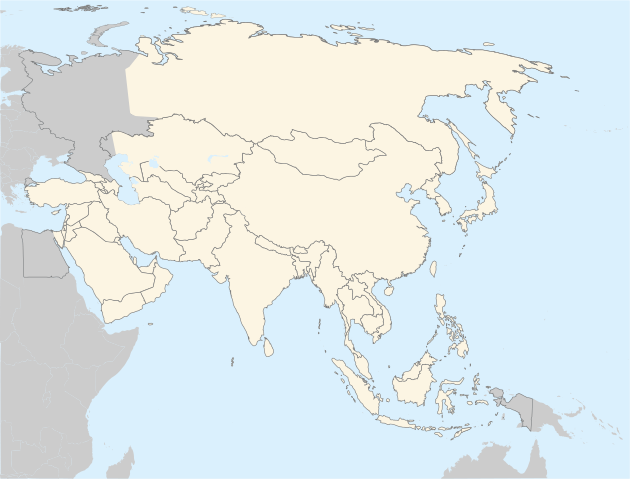
Français : Carte vierge de l'Asie
English: Asia Blank map. The continental boundary to Europe follows the mainstream convention along the Urals, the Ural River, and the crest of the Greater Caucasus (note that the northermost tip of Azerbaijan is actually north of the Caucasus watershed, but is indicated as part of Asia in this map).
Português: Mapa branco da Ásia.
|
||
| Date | 20 November 2006 | ||
| Source | http://en.wikipedia.org/wiki/Image:BlankMap-World5.svg | ||
| Author | historicair 20:31, 20 November 2006 (UTC) | ||
| Permission ( Reusing this file) |
|

This map was improved or created by the Wikigraphists of the Graphic Lab (fr). You can propose images to clean up, improve, create or translate as well.
বাংলা | català | česky | Deutsch | Deutsch (Sie-Form) | Ελληνικά | English | Esperanto | español | suomi | français | עברית | magyar | Հայերեն | italiano | 한국어 | македонски | Bahasa Melayu | Plattdüütsch | Nederlands | occitan | polski | português | română | русский | slovenščina | svenska | татарча/tatarça | Türkçe | українська | 中文 | 中文(简体) | 中文(繁體) | Zazaki | +/−
File usage
Metadata
What is Schools Wikipedia?
Wikipedia for Schools was collected by SOS Children's Villages. SOS Childrens Villages works in 133 countries and territories across the globe, helps more than 62,000 children, and reaches over 2 million people in total. You can help by sponsoring a child.