
File:Geabios3d.jpg
| |
This is a file from the Wikimedia Commons. Information from its description page there is shown below.
Commons is a freely licensed media file repository. You can help. |
Summary
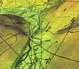
Description: A GIS 3D image (digital elevation model)
Source: Wikipedia EN
Date: /
Author: /
License: copyrighted
Other versions of this file: /
Licensing
 |
The copyright holder of this work allows anyone to use it for any purpose including unrestricted redistribution, commercial use, and modification.
Usage notes: |
File usage
The best way to learn
Schools Wikipedia has been carefully checked to give you the best learning experience. Thanks to SOS Children's Villages, 62,000 children are enjoying a happy childhood, with a healthy, prosperous future ahead of them. You can help by sponsoring a child.