
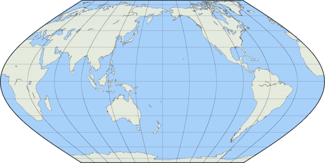
File:Map projection-Eckert VI.png
Size of this preview: 640 × 321 pixels.
| |
This is a file from the Wikimedia Commons. Information from its description page there is shown below.
Commons is a freely licensed media file repository. You can help. |
Summary
Created by User:Reisio with GMT & GIMP.
pscoast -Rg -JKs180/10i -Bg30/g15 -Df -A10000 -W -G234/236/220 -S172/209/250
|
|
Created with Generic Mapping Tools (GMT) |
 |
This map image could be recreated using vector graphics as an SVG file. This has several advantages; see Commons:Media for cleanup for more information. If an SVG form of this image is already available, please upload it. After uploading an SVG, replace this template with {{ vector version available|new image name.svg}}. |
Licensing
 |
This work has been released into the public domain by its author, Reisio. This applies worldwide. In some countries this may not be legally possible; if so: Reisio grants anyone the right to use this work for any purpose, without any conditions, unless such conditions are required by law.
|
File usage
The following pages on Schools Wikipedia link to this image (list may be incomplete):
Did you know...?
This selection has made Wikipedia available to all children. SOS Children is there for the children in our care until they are ready for independence. Have you heard about child sponsorship? Visit our web site to find out.