
File:Dem congo sat.jpg
Size of this preview: 486 × 479 pixels.
| |
This is a file from the Wikimedia Commons. Information from its description page there is shown below.
Commons is a freely licensed media file repository. You can help. |
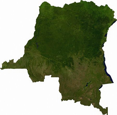
Summary
Raster data download July 12, 2006 from The Map Library: exported to TIFF format, and converted to JPEG via Paint.NET.
Licensing
 |
This file is in the public domain, because it was generated by a user, using free sources available at The Map Library. Note that this does not include the maps in the Global Administrative Areas section of the homepage. |
File usage
The following pages on Schools Wikipedia link to this image (list may be incomplete):
Metadata
Learn more about Schools Wikipedia
SOS Childrens Villages has brought Wikipedia to the classroom. SOS Children is there for the children in our care until they are ready for independence. Why not try to learn more about child sponsorship?